 EN

- Description

Is there a problem?
Please contact us to serve you!

Stability Monitor Telemeter
Building Deformation Monitoring Radar
A portable, non-contact radar system for real-time displacement monitoring and collapse-risk warning during emergency rescue and structural safety operations.
Tell us the structure type, stand-off distance and monitoring duration for a matched configuration.
- Description
- Parameter
- Recommended Products
Description
THE OPERATIONAL PROBLEM
Damaged structures can change while crews are inside
After fire, impact, earthquake or partial collapse, visual inspection alone may not reveal whether a wall or frame is slowly moving. Contact sensors also require access to the hazard area.
The radar measures from outside the structure and turns subtle motion into a traceable displacement curve for the incident commander.
HOW THE RADAR WORKS
Phase changes reveal movement that the eye cannot quantify
The system transmits frequency-modulated continuous-wave radar signals toward the structure. Reflected signals return from multiple high-reflectivity points. Differential interferometric processing compares phase changes over time and converts them into displacement along the radar line of sight. This allows the operator to monitor subtle movement without fixing sensors to a damaged wall, column or façade.
Shows how far each monitoring point has moved from its reference position. This is the primary indicator for identifying continuing structural change.
Calculates how quickly movement is occurring. A rising rate can be more operationally significant than a small but stable displacement value.
Shows whether the movement rate is increasing. It supports earlier recognition of a developing instability trend.
Measurement scope: radar displacement represents movement along the radar line of sight. Project geometry and target reflectivity should be reviewed during technical selection.
WHY RADAR
Designed for rapid monitoring where access is limited
Total stations, GNSS, laser displacement sensors and contact gauges remain useful engineering tools, but emergency rescue creates a different operating problem: the team needs multi-point data quickly, from outside the danger zone, without installing targets on an unstable structure.
| Decision factor | HXDMR-300 radar | Point-based survey tools | Contact sensors |
|---|---|---|---|
| Access to structure | No contact installation | May require target setup or repeated aiming | Sensor installation required |
| Coverage | Multiple reflection points at once | Often point-by-point | Limited to installed locations |
| Update speed | Up to 200 Hz | Instrument and workflow dependent | Often high at each installed point |
| Smoke and low light | Radar measurement remains available | Optical methods may be affected | Not light dependent after installation |
Selection note: these technologies can complement one another. The correct method depends on geometry, required accuracy, monitoring duration and site access.
SYSTEM CONFIGURATION
A portable monitoring set for field deployment
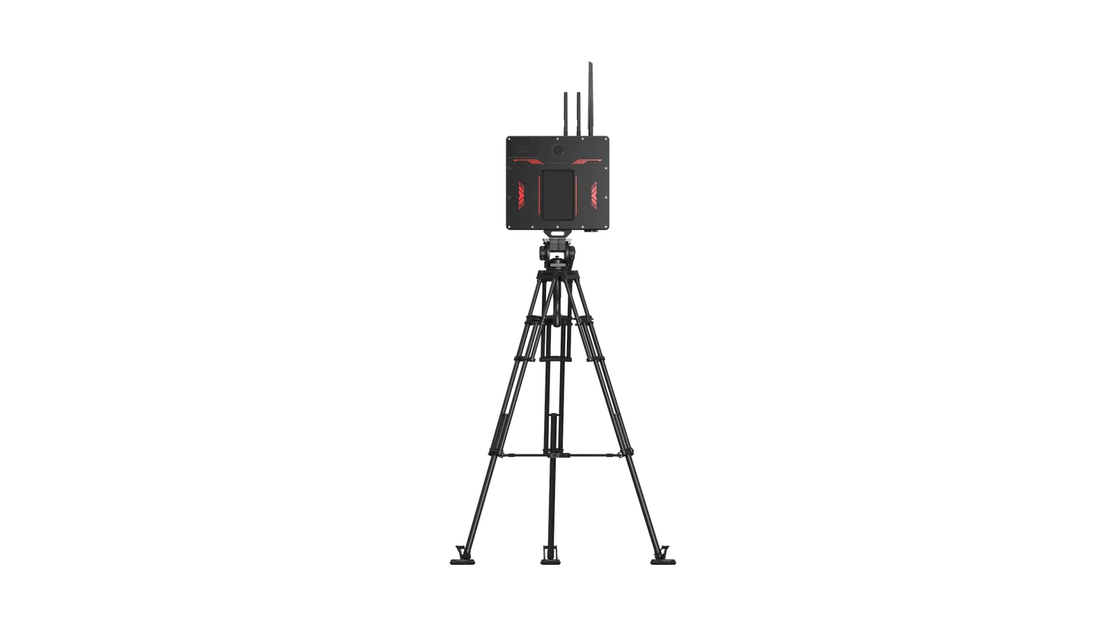
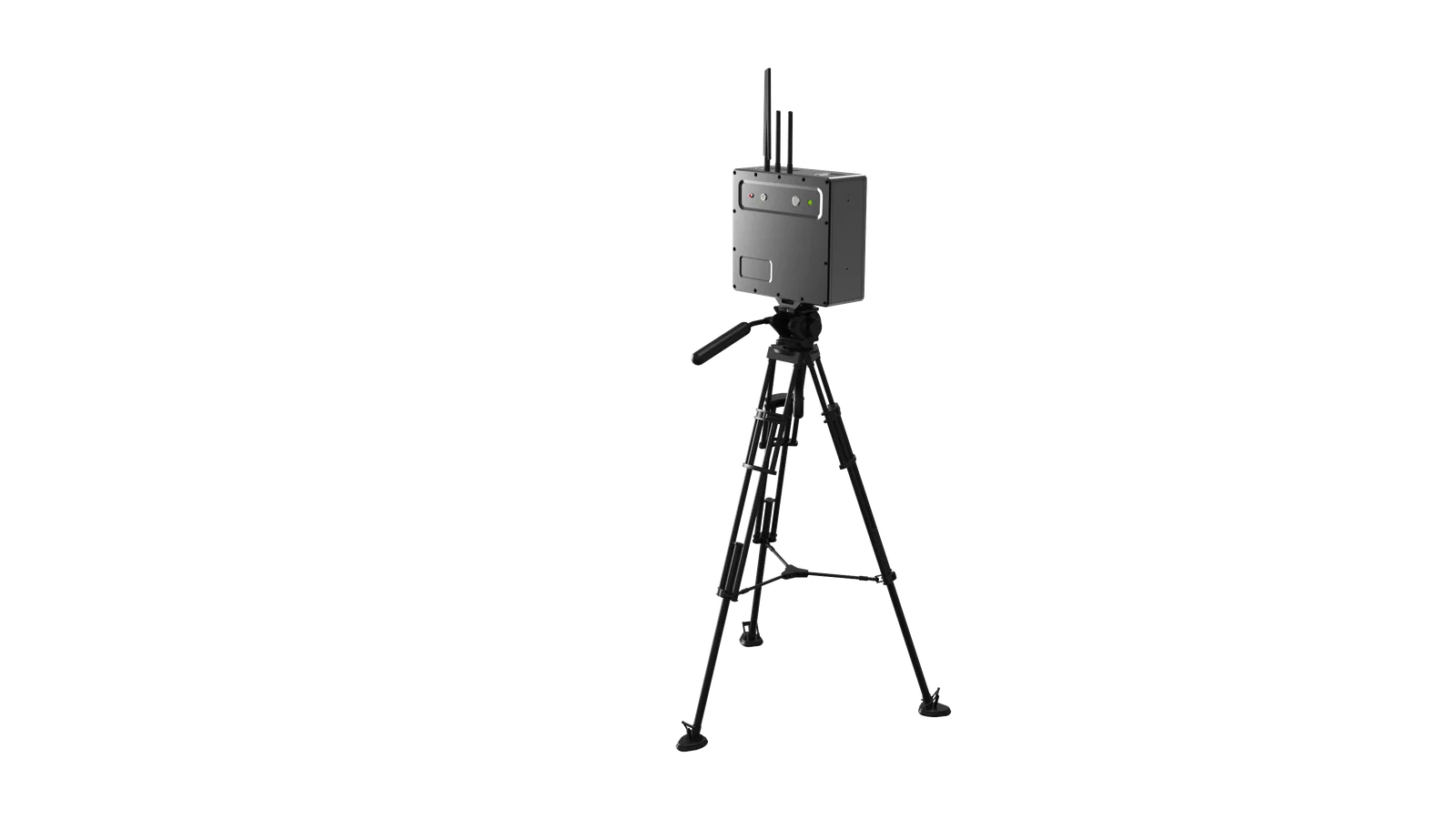
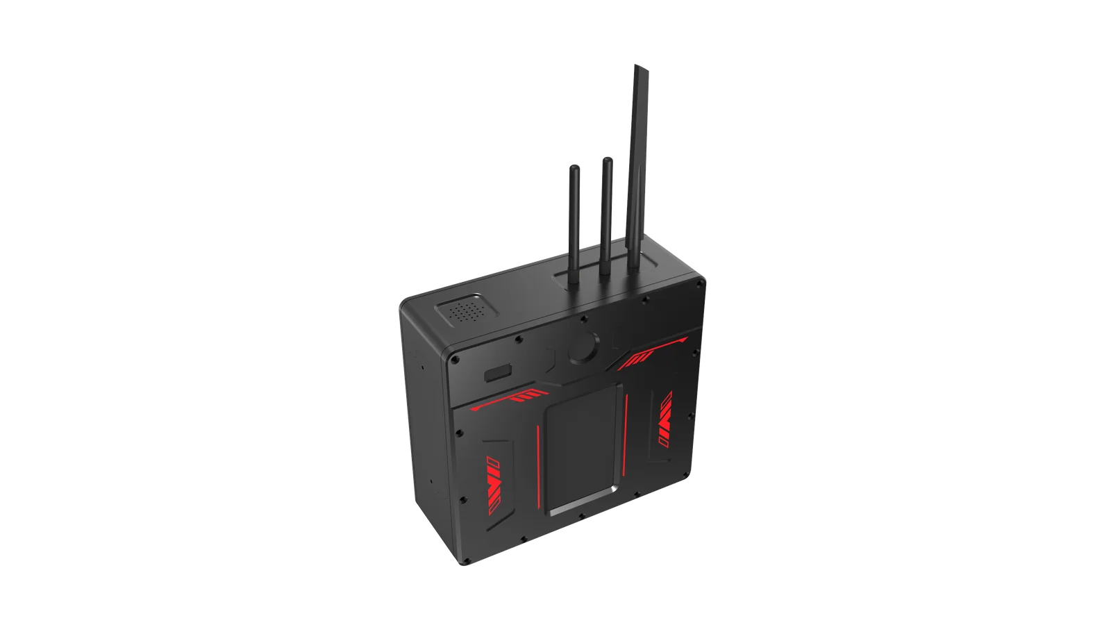
The working system combines the radar main unit, adjustable support and operator terminal. Available connections and accessories vary by project configuration.
SOFTWARE CAPABILITIES
Monitoring data remains visible, traceable and reviewable
Video-linked monitoring points
Each radar point appears on the visible scene with corresponding distance and height information.
Automatic waveform acquisition
The system acquires available points and orders them by signal strength. Irrelevant points can be removed from the active view.
Independent alarm thresholds
Cumulative displacement, rate and acceleration can each use a separate threshold matched to the operation.
Photo and video evidence
Operators can capture images and video for review, reporting and post-incident analysis.
Recorded-data playback
Recorded video can be replayed in the application with monitoring data from the same time period.
Multilingual interface
Chinese, English and French interfaces support training and operation across different markets.
SITE REQUIREMENTS
Good deployment practice protects data quality
Keep vehicles, vegetation and other structures out of the radar path during measurement.
Place and secure the tripod on hard, stable ground. Tripod movement directly affects measurement quality.
Aim at structural surfaces with useful radar reflections. Smooth glass can provide poor measurement targets.
Stop monitoring and power down before changing the main-unit angle or moving to a different target.
DOCUMENTED FIELD CASE
Continuous monitoring during the 2022 Changsha building-collapse response
The supplied training record states that the Langsenji team used building displacement radar at the Changsha rescue site from 2 to 3 May 2022. The radar followed damaged buildings beside the rescue area while operations continued.
Recorded curves remained mainly within ±0.8 mm, with small fluctuations associated with rescue activity.
During a quiet period, recorded curves remained within approximately ±0.2 mm.
The training record reports curves mainly within ±0.6 mm, with temporary changes during site activity.
The west-side building showed deformation up to about 5 mm during demolition work, and the trend was reported to the site safety officer.
Case note: values describe the recorded site timeline in the supplied company training material. They are not a universal alarm threshold for other structures.
MEASUREMENT WORKFLOW
From stand-off setup to actionable warning
Place the tripod on stable ground with a clear radar line of sight to reflective structural surfaces.
The system identifies multiple strong reflection points and maps each point to the visible scene.
Operators follow cumulative displacement, rate and acceleration curves as the operation develops.
An exceeded threshold triggers an audible and visual alarm and identifies the abnormal point.
DECISION SUPPORT
One screen connects position, distance and movement history
Color-linked points reduce ambiguity between the video scene and deformation curves. The operator can remove irrelevant points, review recorded evidence and adjust alarm thresholds for the current structure.
APPLICATIONS
Where non-contact deformation data changes the decision
Field evidence in the supplied training material documents continuous building displacement monitoring during the 2022 Changsha building-collapse response, including trend changes associated with ongoing rescue and demolition work.
TECHNICAL SNAPSHOT
Core performance and system functions
CONFIGURATION GUIDE
Information needed for an accurate technical proposal
Monitoring distance alone does not define the correct configuration. The supplier should review the structure, expected movement, site geometry, operating duration and required data connection before confirming the solution.
BUYER FAQ
Building deformation monitoring radar questions
What does the HXDMR-300 measure?
It measures displacement at multiple radar reflection points and calculates cumulative deformation, deformation rate and acceleration over time.
Does the radar require targets or sensors on the building?
No contact sensor is required. The system selects strong radar reflections from suitable structural surfaces within a clear line of sight.
Can it work in smoke, dust, darkness or bad weather?
Radar measurement is not dependent on visible light and is less affected by smoke, dust, rain, snow and fog than optical-only methods. A clear radar path to the monitored surface is still required.
How are warnings configured?
The operator sets independent thresholds for cumulative displacement, deformation rate and acceleration. Exceeding a threshold triggers audible and visual warning.
Can monitoring evidence be reviewed later?
Yes. The system can capture photos and video, store files locally or on an SD card, and replay video with the monitoring data shown for the recorded time.
Which configuration should we order?
Configuration depends on stand-off distance, structure type, monitoring duration, wired or Wi-Fi operation and whether cloud connectivity is required. Send the project conditions for a matched quotation.
What accuracy and refresh rate does the system provide?
The supplied technical material specifies deformation measurement accuracy better than 0.1 mm and a data refresh rate up to 200 Hz. Final project performance depends on target, geometry, stability and configuration.
Can the radar determine whether a building is safe to enter?
The radar supplies quantitative displacement trends and alarms for the safety team. Entry, evacuation and structural-safety decisions should remain with qualified incident commanders and structural specialists using all available evidence.
Does the device automatically select monitoring points?
Yes. The software can acquire strong reflection points and rank them by signal strength. Operators can remove points that are irrelevant to the monitoring objective.
What can interfere with measurement?
Movement of the tripod, blockage in the radar path, weak target reflections and changing the unit angle during monitoring can reduce data quality. Stable installation and suitable target selection are essential.
Is Wi-Fi required?
No single connection method fits every project. The current product material describes a Wi-Fi version, while wired and cloud-connected configurations should be confirmed when ordering.
Can several radar units work together?
The supplied product brochure states that multiple devices can operate collaboratively for monitoring from different angles. Project design and data integration requirements should be confirmed by the supplier.
What training and maintenance are recommended?
Operators should practice setup periodically, keep the main unit and terminal charged, manage stored files, clean external surfaces after use and store the system in a dry, ventilated equipment case.
Send your monitoring scenario for technical selection
Include the structure type, expected monitoring distance, required runtime, deployment environment and preferred data connection.
Request Technical Proposal